
Lincoln Neighbor Sources Around One Address
Neighbors are easiest to study when the block is defined before names are gathered. A parcel that shares a boundary is different from a parcel across a public street, a corner parcel, or a place that merely uses the same postal ZIP. The Placer GIS viewer supplies the first spatial layer. Assessment, planning, election, and community sources then add narrower kinds of information.
| Source | What It Shows About a Block | Access |
|---|---|---|
| Placer Parcel, Zoning & Land Use Map | Parcel shapes, touching land units, zoning, land use, and situs context | Free address or APN search; click and pan |
| Placer Assessment Inquiry | Parcel-linked ownership information, mailing address, values, exemptions, and transfer fields | Free 12-digit parcel-key route; owner requests go to the Assessor |
| Lincoln Neighborhood Subdivisions Map | Named subdivision or planning area connected to an address | City planning map; address or subdivision search |
| California voter channel | An individual’s authenticated status, or permitted fields in an authorized file | Self-lookup or qualified-purpose request; not a public block browse |
| Neighborhood Watch and community pages | Public program and contact layer, not participant households | Public program information; no member roster located |
| Library and archive collections | Historical names, places, newspapers, and local context when holdings fit | City or county facilities; check each catalog and access rule |
The table also shows why a Lincoln neighbors search cannot be reduced to one database. GIS does not publish an owner-name directory. The Assessor key does not prove occupancy. Voter information is purpose-restricted. Community pages may help someone join a civic activity without naming its participants. A result is strongest when its source, date, field, and limit are recorded.
Note: A block worksheet should state whether adjacency means shared boundary, corner, across-street, subdivision, or another defined relationship.
Map Lincoln Neighbors by Parcel
The Placer Parcel, Zoning & Land Use Map, also called LIS in the county material, is the practical tool for locating nearby parcels. It accepts an address or parcel identifier, then exposes Search, Layers, Feature Info, Parcel Features, Coordinates, and Print controls. It does not provide a one-click radius or buffer report. The block has to be built from visible parcel relationships.
- Search the known address in the Placer GIS viewer and zoom until parcel outlines are clear.
- Click the target polygon and record its APN, situs context, subdivision, zoning, and land-use labels.
- Click each parcel that shares a line with the target. Pan along both sides of the block and mark corner parcels separately.
- Carry every APN into the Assessment Inquiry or a lawful Assessor data request. Keep the parcel list tied to the map date.
- Label the result as ownership, mailing, planning, or community information. Do not turn a parcel set into a claim about every person who lives there.
A shared line is the clearest neighbor rule. A parcel across a street may be part of the same social block but not the same legal adjacency set. A corner that touches at one point should be marked as a corner relationship, not silently treated as a full shared boundary. These distinctions make the result easier to review for Lincoln neighbors and prevent a ZIP or subdivision label from replacing the map.
For the complete chain along a named road, switch to the Lincoln street address directory. The neighbor method stays local to the immediate block, while the street method follows address records across the whole route.
APNs Bridge Lincoln Neighbor Records
An APN, or assessment parcel number, is the stable working key that connects a map polygon to the county property system. Placer’s public assessment tools use a 12-digit Fee Parcel Number or Assessment Number. The GIS layer is the address-to-APN bridge. The free GIS extract can show parcel and situs context while omitting the owner name, so ownership questions move to the Assessor rather than being answered from the map alone.
Assessment documentation can include owner name, owner mailing address, site or situs address, map book, tax-rate area, land and structure values, exemptions, last-transfer date, and deed number. Situs means the taxed property location. Mailing means where assessment correspondence goes, which may be outside Lincoln. A Homeowners’ Exemption can support an owner-occupancy clue, but it does not prove that every titled person lives there now.
For selected streets or blocks, the PCA503 Assessor data request lists selection paths such as the first three APN or map-book digits, an assessment district or tax code, a group code, or a spreadsheet of 12-digit APNs. It also lists field groups for Name/Address, Situs, Certified Roll Values, General data, and Physical Characteristics. Delivery can use email, BOX, or FTP in CSV or GIS formats, with prepayment and a stated two-week period after payment.
That route is more precise than guessing at a ZIP filter. It also creates a source trail for Lincoln neighbors research. Write down the APN, assessment cycle, owner or mailing field used, and access date. Then compare the result with the deed or recorded map when title, lot, or parcel history matters.
Lincoln Neighbor Data Is Not Occupancy
A common public-record myth is that clicking a nearby parcel reveals the household inside it. In Lincoln, the GIS map does not publish a complete owner-name layer, and an assessment result is about property administration. Even when ownership information and a mailing address appear, the named owner may live elsewhere, the mailing address may be different from the situs, and other household members may not be recorded at all.
The same caution applies to permits, planning files, business records, and a subdivision name. An applicant, contractor, business principal, or titled owner can be connected to an address without being its current occupant. A neighborhood label can identify a planned area without proving association membership. These are useful clues for genealogy, parcel history, civic research, or reconnecting, but each clue needs its own label.
Myth check. An owner mailing address, a property situs, and a resident list are three different records. No single Lincoln parcel result should be described as a complete list of neighbors.
The distinction protects both accuracy and privacy. It also helps explain why a neighbor lookup may end with a parcel number, a public office contact, or a redacted record instead of a person’s name. A missing field is not evidence that the person is absent from the block.
Lincoln Neighborhoods Add Place, Not Rosters
City Planning supplies a useful community layer through its address-searchable zoning and neighborhood subdivisions material. Village 1, Village 5, Village 7, Independence, and the Northeast Quadrant or SUD-B are planning references. Sun City Lincoln Hills, Lincoln Crossing, Twelve Bridges, Verdera, and Foskett Ranch can also help frame a local search, but the research did not locate a comprehensive official HOA or neighborhood-association member directory.
The Lincoln planning and development source is the basis for the subdivision image paired with this section. It helps connect an address to a named planning area without turning that area into a people list.
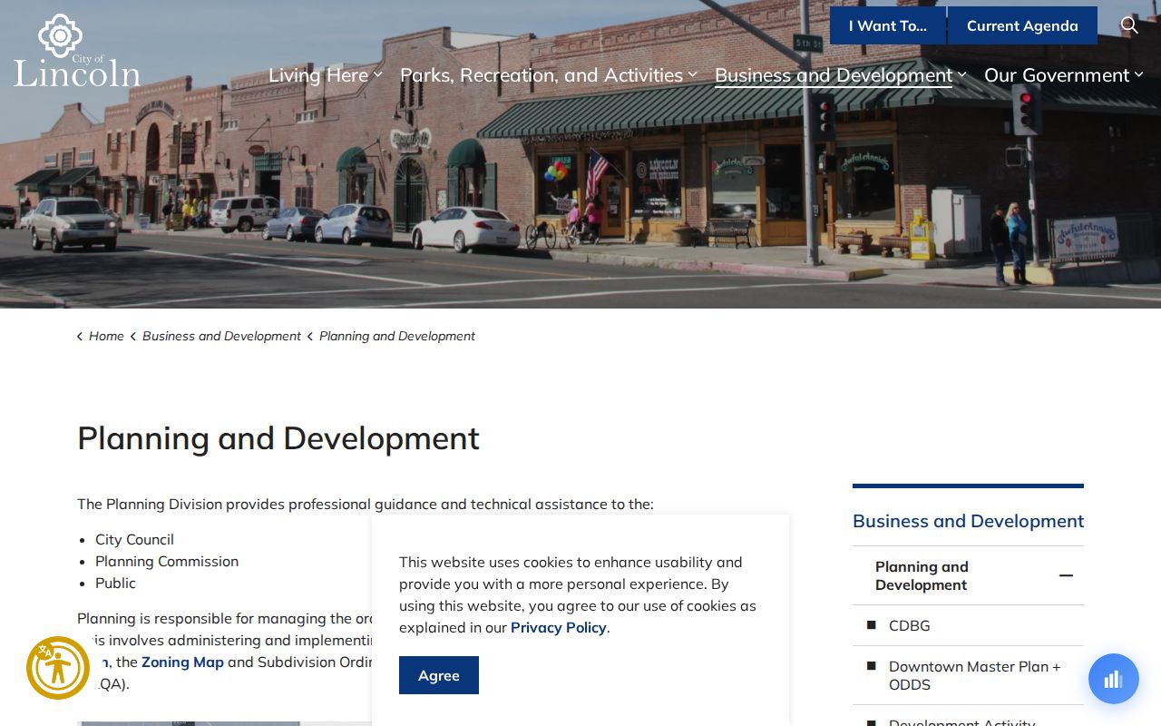
The planning layer gives geographic context. It does not publish private association membership, household composition, or a guaranteed board contact for every development. Where an association matters, identify the exact recorded subdivision or CC&Rs for the APN and use only a public board or management contact that the association voluntarily provides.
| Community Layer | What It Can Establish | What It Cannot Establish |
|---|---|---|
| City neighborhood subdivisions map | The named planning or subdivision area tied to an address | Current association membership or a household roster |
| Recorded subdivision map or CC&Rs | Legal lot, map reference, and association-document lead | Who currently lives in each parcel |
| Public association contact | A voluntarily published board or management route | Private member names, phone numbers, or emails |
| Neighborhood Watch page | A public safety program and its contact layer | Participant or block-watch member list |
Nearby permits add physical context without becoming a resident list. For a site inside Lincoln, the Lincoln permit portal can supply an address, project, status, date, applicant, or contractor lead. For an unincorporated parcel, use Placer County CDRA permits. A historic or unindexed city file can be requested through the City public-records channel. An applicant or contractor still is not proof of occupancy.
Note: A subdivision name is a location clue; confirm the parcel and the public contact before attaching any community label to a Lincoln address.
Lincoln Neighborhood Watch Is a Program
Neighborhood Watch belongs in a community search because it can point a resident toward a public safety program, not because it supplies a list of participants. The official Lincoln Neighborhood Watch information is the source for the paired image and the program-level contact path.
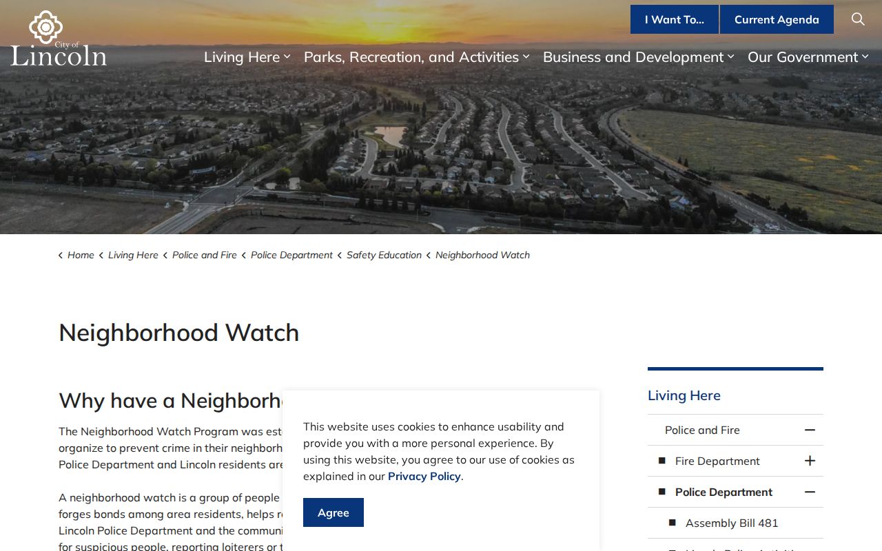
A public program page may help with safety education or a lawful community question, but it does not authorize a request for a private roster. The same boundary applies to churches, clubs, block groups, school communities, and informal neighborhood chats. Publicly posted event information can be read as posted; private membership information should remain with the organization and its members.
For historical context, Lincoln Public Library and the Placer County Archives can be better leads than a current community list. The research identifies city library, county-library, archive, newspaper, and local-history channels, but each collection must be checked for its actual date range and access rule.
Lincoln Voter Records and Neighbor Boundaries
California’s voter channel is not a house-by-house neighbor search. My Voter Status is an authenticated individual service. Its fields include first name, last name, date of birth, and, when requested, a California driver license or ID or the last four digits of a Social Security number. An authenticated result can show the person’s own status, party preference, address, precinct or districts, polling or vote center, vote-by-mail, and ballot status. It never shows ballot choices.
Placer Elections is the direct county administration route at 3715 Atherton Road in Rocklin, 530-886-5650, Monday through Friday from 8:00 a.m. to 5:00 p.m. Qualified state requests are different from self-status checks. The research describes a $100 statewide file, or specific voters at $30 each with a maximum of ten and a $100 ceiling, subject to eligibility and application rules. Commercial use is prohibited.
Elections Code section 2194 and related California rules restrict voter affidavits and data. Driver license or ID numbers, Social Security numbers, and signatures remain confidential. Safe at Home provides a substitute mailing address and confidential voter registration for qualifying at-risk people, so an authorized record may still suppress the location that a casual search expects to see. A lawful Lincoln neighbors search must respect that boundary.
Lincoln Rolls Versus Commercial Neighbor Tools
Official records and commercial compilation tools are different categories. The official route is slower because it keeps the parcel, custodian, field, and access rule visible. A commercial compilation may be convenient, but mixed sources can be stale, merge people with similar names, or hide the origin of a claim. Neither category should be treated as proof of who currently occupies a parcel.
| Source Category | Useful Strength | Boundary |
|---|---|---|
| Official county and city records | Parcel, assessment, planning, permit, election, or public-record fields tied to a named custodian | Access may be parcel-keyed, purpose-restricted, redacted, fee-based, or limited to an index |
| Generic commercial neighbor tools | May combine address and name clues into one convenience result | Source dates and field origins may be unclear; stale or merged identities require independent verification |
For a family-history question, confirm a person with two independent anchors such as an APN and deed, or a case number and known date. For a civic question, cite the planning or election source itself. The more a result affects another person, the more important it is to keep the original record and its access limit in view.
Privacy Boundaries for a Lincoln Neighbor Lookup
California privacy law places real limits on a neighbor lookup. Safe at Home can replace a qualifying participant’s public mailing address with a substitute address. The California Consumer Privacy Act and California Privacy Rights Act give covered people rights to know, correct, delete subject to exceptions, and opt out of sale or sharing. The DROP process, effective January 1, 2026, provides a single-request route for registered data brokers, but it does not turn protected government records into a public block list.
The Driver’s Privacy Protection Act restricts DMV personal information. California rules also address Social Security number handling in recorded images. Public records law cannot force an agency to create a new neighbor roster, and an exemption or confidentiality statute can keep an existing field out of a response. Those rules explain legitimate gaps in parcel, voter, court, vital, and community research.
Lawful use. Use Lincoln neighbors records for personal genealogy, reconnecting, civic understanding, estate work, or personal safety awareness. Stalking, threats, harassment, intimidation, and unlawful use of identifying information can bring criminal or civil consequences.
California Penal Code section 646.9 addresses stalking, Code of Civil Procedure section 527.6 provides a civil-harassment restraining-order process, and Penal Code section 530.5 addresses unlawful use of personal identifying information. A careful search stops at the privacy boundary, records the reason, and uses the custodian’s correction or authorized-request path instead of guessing.
Note: A careful block worksheet states its adjacency rule, map date, APN source, owner distinction, and privacy boundary before sharing any result.